Across Djursland, you will find kilometre after kilometre of endless walking and hiking experiences.
Photo: RAISFOTO
The Mols Bjerge-stien is an internationally certified path that stretches 80 km through Mols Bjerge National Park, and along Djursland’s northern coast, you can follow in the footsteps of the pilots who used to guide the boats from the Lodsstien path. Here, you will find short as well as longer routes.
Tour suggestions
Photo: Norddjurs Kommune
Djurslandstien - a coastal hiking trail
Discover Djurslandstien, a coastal hiking trail that takes you through beautiful nature and cultural history from Risskov in Aarhus to Udbyhøj in northern Djursland.
Take a wonderful hike along the certified Mols Bjerge Trail, which stretches for an impressive 80 kilometres. You can divide it into 4 day stages of approximately 20 km each.
Trehøje are three majestic hilltops that proudly rise 127 metres above sea level in the middle of the scenic Mols Bjerge National Park. Discover the height of natural beauty as you climb these peaks and marvel at the impressive landscape.
The lighthouse Sletterhage Fyr is located in an undisturbed landscape at the southernmost point of Djursland. Take a walk along the coast for a complete natural experience where the sky meets the sea. Further, in on the peninsula, you can see dramatic hills and steep cliffs rising up.
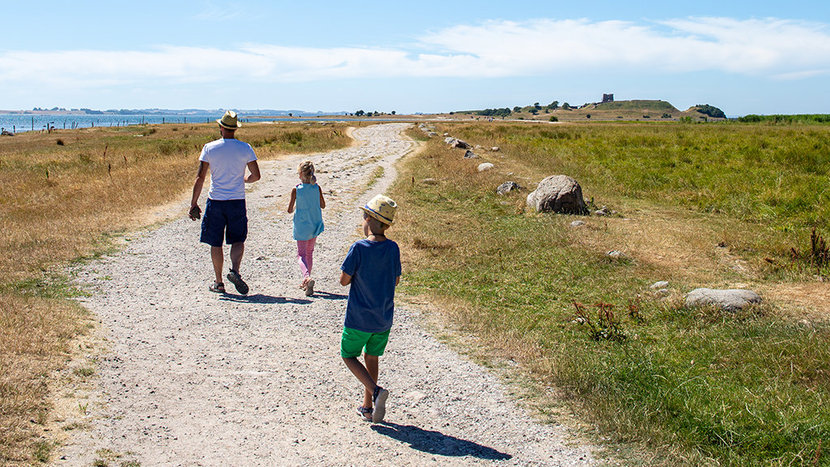
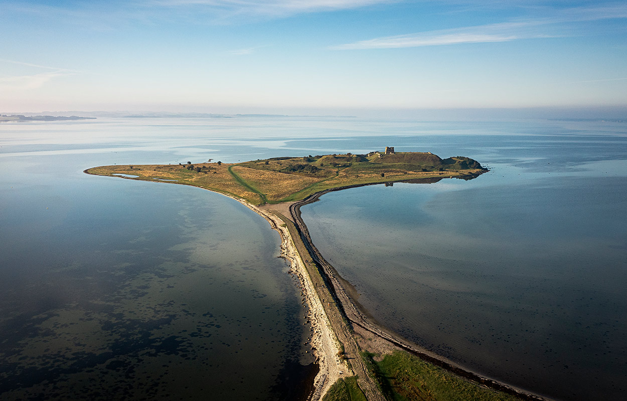
At the foot of Mols Bjerge National Park, Kalø Slotsruin is located on a bank in the cove, Kalø Vig. If you follow the old stone-paved path out onto the peninsula, it’s like travelling back 700 years.
The Clover Paths in Kolind on Djursland are for those who want to venture into the outdoors and combine experiences and fresh air with physical activity. Choose the route that suits you based on length or the attractions you'd like to experience.
This guide to hiking in Mols Bjerge is tailored for those who want to embark on a medium-length hiking route, ideal for families with children who are old enough to do without a stroller or pram.
From Ellemandsbjerget, a view point in the middle of Denmark, it is possible on a clear day to see Funen and Zealand and the islands in southern Kattegat.
St. Gertrude's Trail – Pilgrimage walk on Djursland
Sankt Gertrud's Trail on Djursland is a pilgrimage route between 14 churches, a church ruin and a church forest in Fornæs Pastorate. The trail invites reflection as you walk through the beautiful landscape.
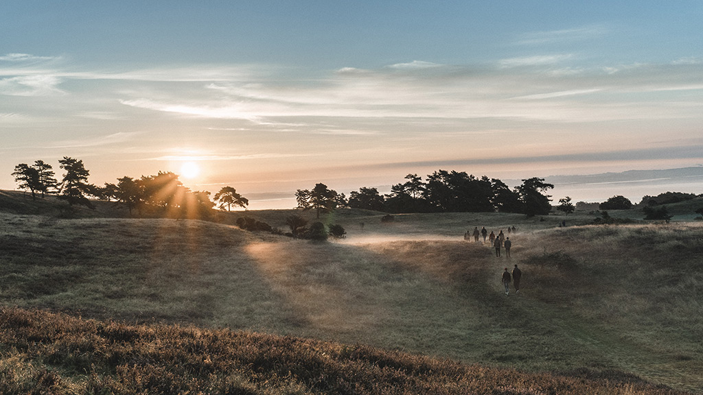
Hiking trails in Mols Bjerge National Park in Djursland
Discover Mols Bjerge on foot - a unique natural area in beautiful Djursland with hilly terrain, open spaces and magnificent views. Whether you're into short walks or longer hikes, you'll find beautiful routes with plenty of nature, tranquillity and exciting cultural history along the way.
A National Park, stunning panoramic views, sandy, white beaches – the landscape around Djursland invites you to come and get your heart rate up, hiking or riding your bike in Mols Bjerge, for instance.