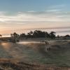
A Hike Around Mols Bjerge on a map
Photo: VisitAarhus
Get the local guide Line Wageners best tips to A Hike Around Mols Bjerge in Djursland.
Tips for the best point of view
List
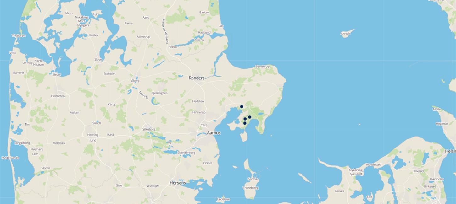
Map
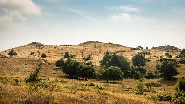
Mols Bjerge National Park
Most trails around Mols Bjerge National Park are hilly, bumpy, and narrow. Visitors with a walking disability as well as families with prams should stick to the handicap-friendly trails and to the area’s gravel and forest roads.
The path Mols Bjerge-stien
If you are an experienced hiker and are in good shape, you should treat yourself to the full hike along Mols Bjerge Stien, the 21 km Mountain Route.
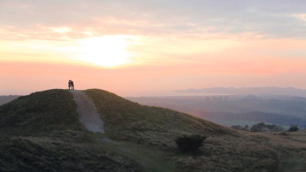
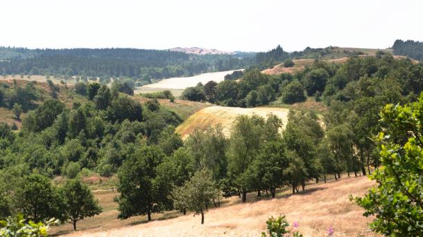
The three Bronze Age mounds Trehøje
My personal favourite spots along the route are the stretches around Toggerbo and Trehøje.
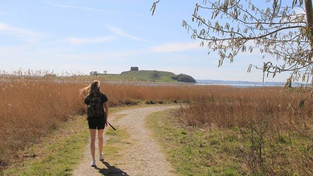
Agri Bavnehøj
The highest point at Mols Bjerge, Agri Bavnehøj (beacon), is situated 137 meters above sea level. From here you get an amazing view.