The Mountains of the Lake District
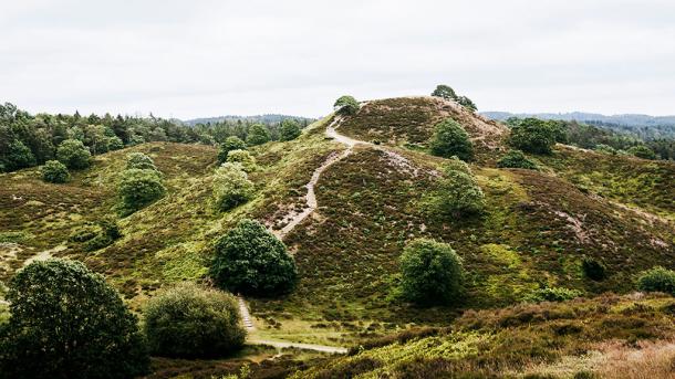
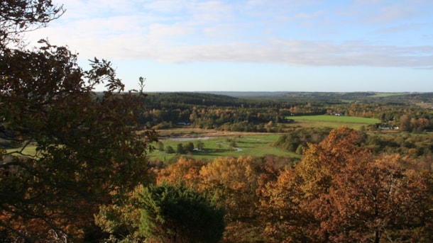
Mountains and hills, as far as the eye can see. In the Lake District Søhøjlandet, you can climb to the top of mountains and hills and be challenged on a rewarding hike, always ensuring you a splendid view at the summit
The Summits
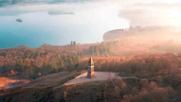
Himmelbjerget
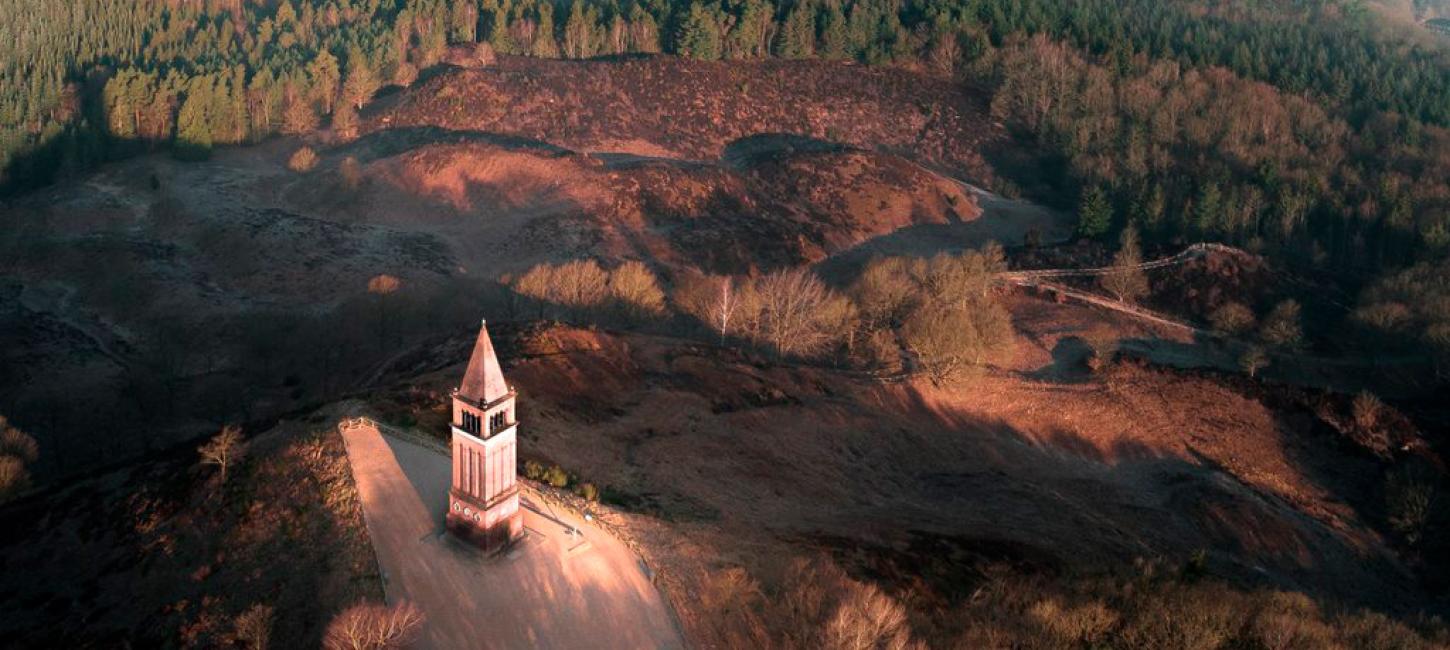
Himmelbjerget certainly is worth a visit when you are in the Lake District. Enjoy the stunning view of Julsø lake and the magnificent landscape from the tower at its top and learn about the fascinating story of the origins of democracy. Himmelbjerget towers 147 m above sea level, and from the famous Himmelbjerget tower, you get the most amazing view of the surrounding landscape.
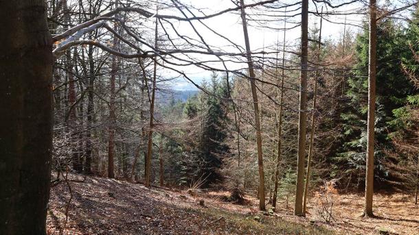
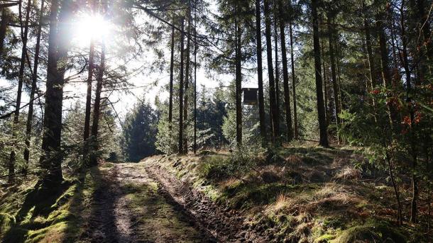
Rye Sønderskov
Rye Sønderskov is covered by trees, and despite its 162.5 m, visitors here are few. Until recently, Rye Sønderskov was thought to be just 157 m high, but new digital measurings have shown that the place is actually quite a bit higher than previously assumed. This meant that Rye Sønderskov moved up a spot on the list of Denmark’s top-10 highest natural points and took 4th place instead of 3rd – and this way, it even surpassed Rytterknægten on the island of Bornholm.
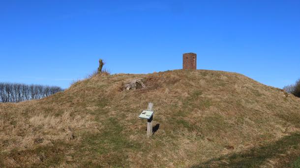
Them Bavnehøj
With its 153 m, Them Bavnehøj used to function as a signalling mound. The signal came from a large fire on its top, warning people near and far that the enemy was approaching. This way, the army had time to prepare their defence of the country. Today, Them Bavnehøj is a great place to go for hikers, and on the top, you can even go up a small observation tower and this way be able to see even farther.
Sorring Loddenhøj
Sorring Loddenhøj mound sticks up 147 m in the Danish terrain, and the location of the mound indicates that it was established back in the Bronze Age. The area surrounding Sorring Loddenhøj has a large number of mounds, in fact, within a 1 km radius, more than 20 mounds are scattered in the landscape. You will know Sorring Loddenhøj mound because of the tall radio tower on its top. Nearby, you will find the town of Sorring, the town in all of Denmark that is situated at the highest point above sea level.
Brande Krat og andre høje bjerge
On the 10th place on the list of Denmark’s highest mountains, you will find Brande Krat south-west of Silkeborg with its 141 m. Sindbjerg and Stoubjerg are two more peaks in the Lake District – a beautiful natural resort with two heath-covered peaks in the moorland south-east of Silkeborg. Sindbjerg measures 103 m and Stoubjerg 99 m. From their tops, the view is endless of the long line of lakes from Silkeborg to Himmelbjerget.
Gjern Bakker
Gjern Bakker in Central Jutland is a fascinating relic from the last ice age, where the forces of nature have shaped the hilly terrain. The hills were formed as a marginal moraine in front of a mighty...
