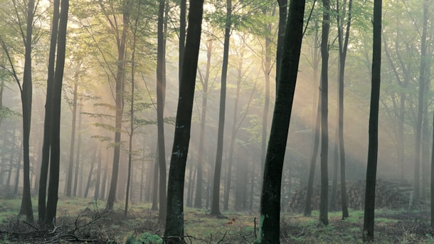
Sunbeams over Aarhus
Experience the amazing nature, the fresh air, and the sunshine on these routes in Aarhus.
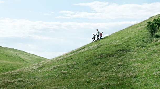
The Mountain Route
Enjoy sunbeams over Aarhus. The Mountain Route starts by the foot of the northern “mountain” (hill) nearest to Jernaldervej. The 8 kilometre route is perfectly suitable for running or walking tours bu...
The Blue Route
Enjoy sunbeams over Aarhus on the Blue Route. The route starts behind the The City Museum of Aarhus and follows the path system around the Brabrand Sø/Lake and Årslev Engsø/Meadow Lake.

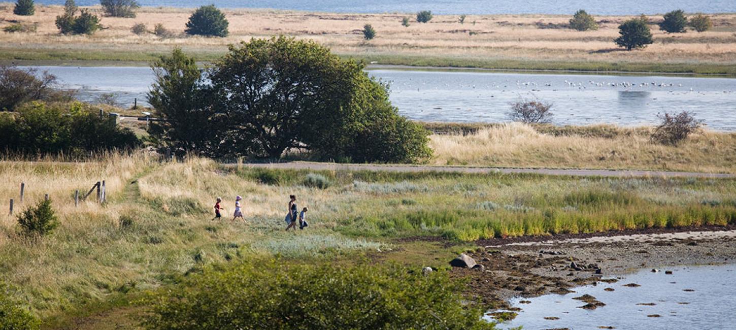
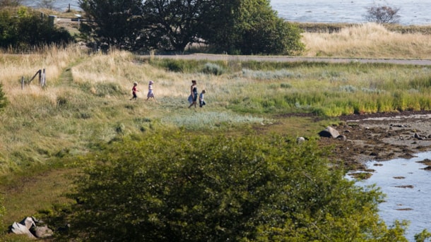
The Coastal Route
The Coastal Route is primarily a route for cycling but it is also possible to go on the route with running shoes or hiking shoes. In this case you can use the parallel path systems instead of the cycl...
The Land Route
The Land Route starts at the parking ground by the road at Vestereng by Bodøvej. The route takes you through the woods of the old military area, past Århus Universitetshospital, Skejby to the outskirt...
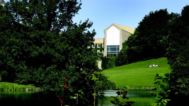
The Park Route
The 5,4 kilometres Park Route starts and ends by The Natural History Museum. It follows asphalted path systems through the three parks – Universitetsparken/the University Park, Vennelystparken and Bot...
The Pulse Route
The Pulse Route starts in Riis Skov by the parking ground between the old forester building and the youth hostel. The route follows the running route in the forest.
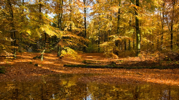
The Forest Route
The Forest Route at Mollerup Skov has two different starting points, one by the parking ground in Mollerup Skov by Skejbyvej (A) and one by the dog training facilities of DCH on Viengevej (B). From on...